NILAM
Agricultural operating system
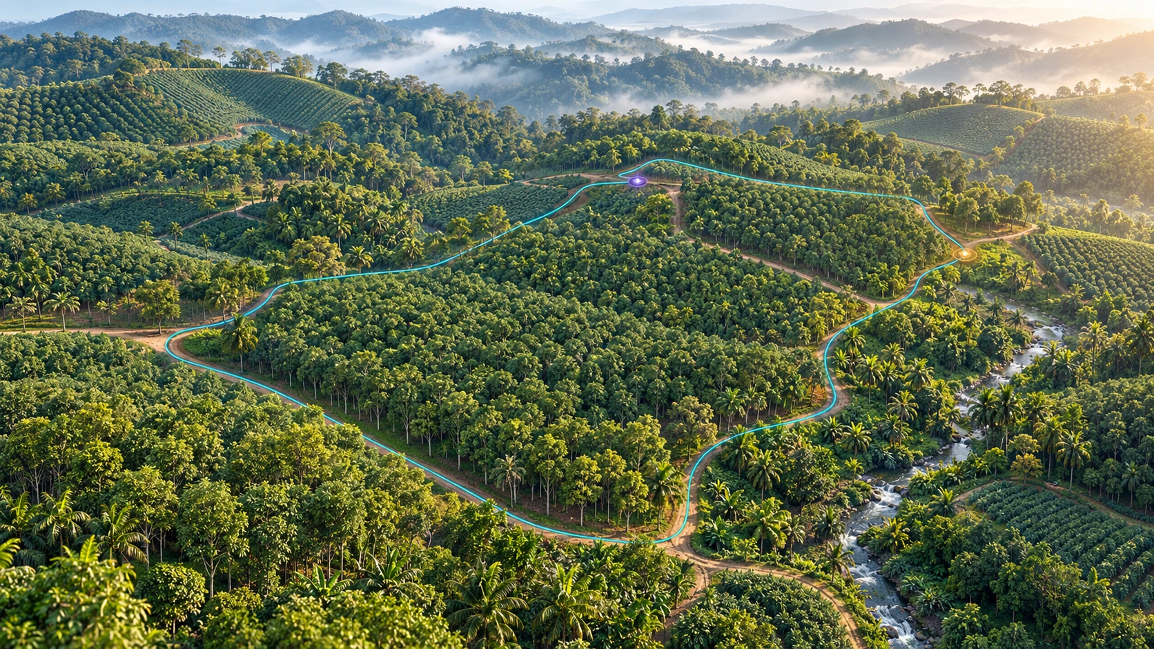
For farmers, plantations and forest management. In development.

ANATASKY / SYSTEMS & SIMULATIONS
Operating systems and simulations,
informed by field research.


Coastal ecosystem · Cuddalore
Healthier coasts and AI-assisted coastal cities, starting in Cuddalore.
Discover RASASovereign AI
Our own compact AI model, designed to understand local places through spatial perception. In development.
Explore Mula AI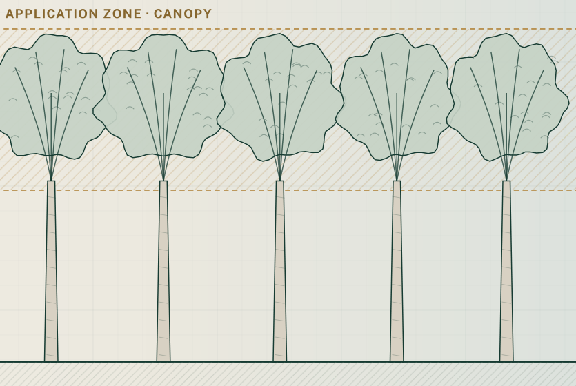
Investigating canopy coverage within a short application window. The image is an illustration, not measured field data.
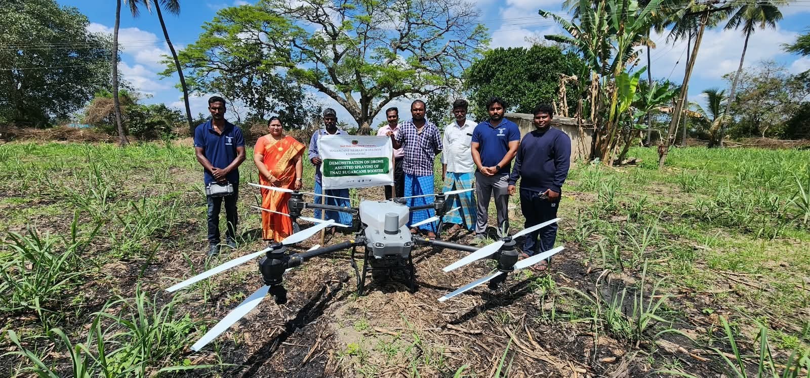
Field photograph from Sugarcane Research Station, Cuddalore. Work contributing to a drone-spraying SOP.
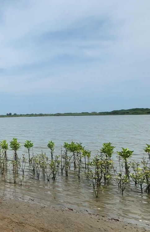
Field photograph of the mangrove site at Pichavaram, Cuddalore District. Investigating development, protection and monitoring.
Research
We tested 14 official Indian agricultural data sources for a South India observatory. Only two survived as reliable facts, and that shaped how Mula AI separates knowing from guessing.
By Arun Balaji ·Research & Prototypes · Zoo OS / Mysore Tiger and other development studies
About AnataSky
Field-first operating systems, simulations and AI for the physical world. Headquartered in Bengaluru, with branches in Tamil Nadu and Kerala.
Operator & partner enquiry
Tell us what you manage and where visibility breaks down.
Start by email
Tell us about your operation, the project you’re interested in and your next step.
Email AnataSkyOpens your email app.
